Utah
Self-drive route · free to read, day by day
- days
- 7
- km
- 736
- stops
- 21
- drive / day
- 1h 13m
A forward-moving red-rock road trip from Zion's river canyons through Bryce's hoodoos and Scenic Byway 12, then Capitol Reef orchards, Goblin Valley, Arches, Moab nights, and Canyonlands' Island in the Sky and Needles.
Curated by Lance · drove it, filmed it
updated Oct 2026
Highlights
one per dayThe route
Tap a day or a townYou sleep in Springdale · Bryce Canyon City · Escalante · Green River · Moab — start in Springdale, end in Monticello.
What the in-car version adds
Tap-to-navigate, every stop
Opens Google Maps or Apple Maps, in order.
Works with no signal
Download the PDF once: every day, stop and drive time.
Your own trip to change
Shorten it, swap stops or ask AI to adjust it.
Cost estimate
Fuel, rental car and stays for this route.
What to book, and when
Tours, ferries and stays that sell out.
Day by day
all free to readLower Emerald Pool → Oscar's Cafe
18 km · 20m driving · overnight in Springdale
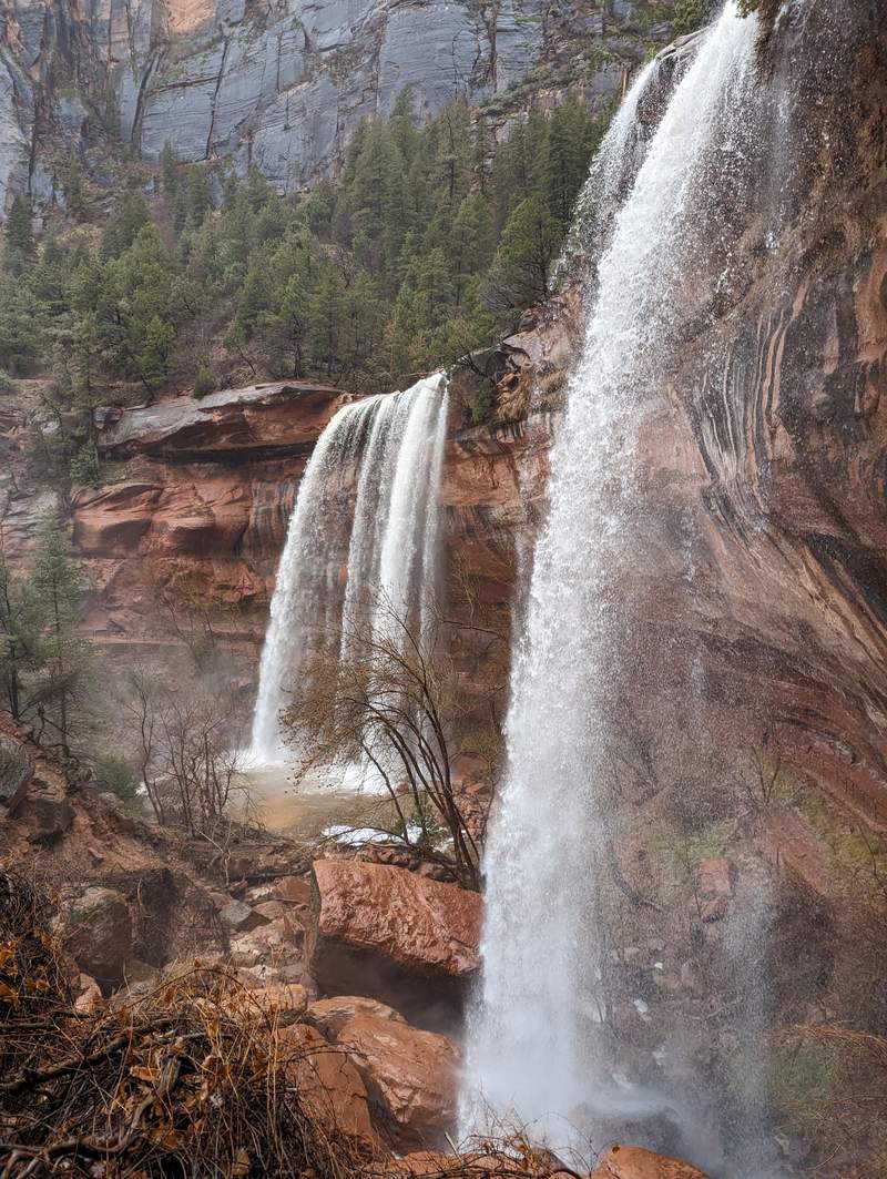
 1Lower Emerald Pool
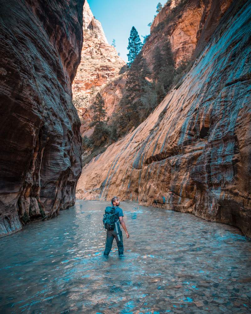
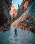 2⭐ Riverside Walk
- 3Oscar's Cafe
Canyon Overlook Trail → Inspiration Point
105 km · 1h 18m driving · overnight in Bryce Canyon City
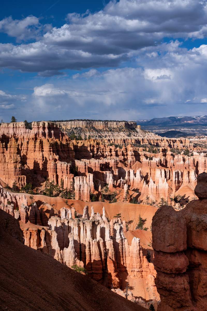
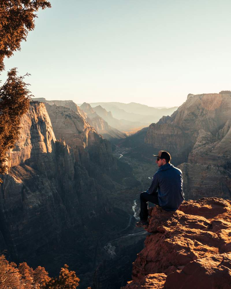
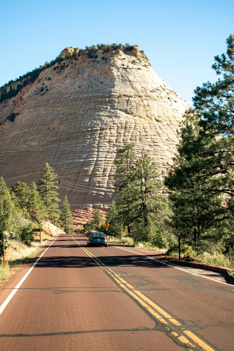
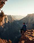 1Canyon Overlook Trail
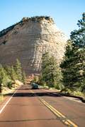 2Checkerboard Mesa
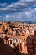 3⭐ Inspiration Point
Navajo Loop Trail → Kiva Koffeehouse
97 km · 1h 11m driving · overnight in Escalante
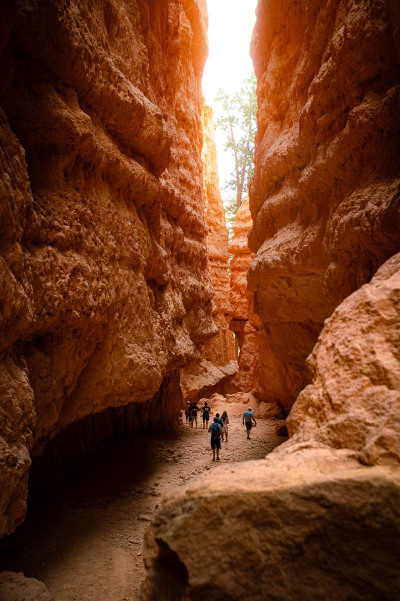
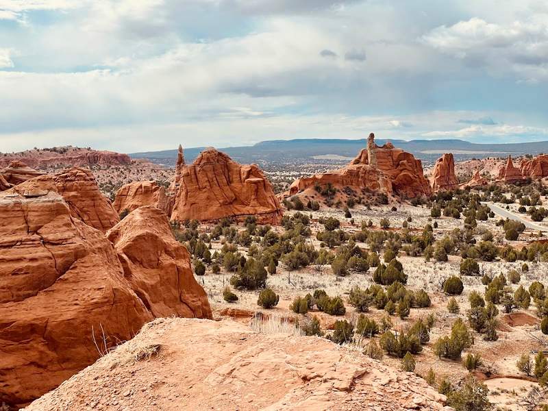
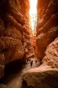 1⭐ Navajo Loop Trail
 2Kodachrome Basin
- 3Kiva Koffeehouse
Gifford Homestead → Goblin Valley
137 km · 1h 36m driving · overnight in Green River
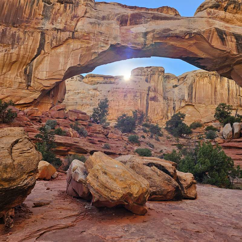
- 1Gifford Homestead
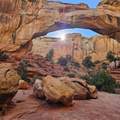 2Hickman Bridge Trail
- 3⭐ Goblin Valley
Delicate Arch → Balanced Rock
172 km · 1h 49m driving · overnight in Moab
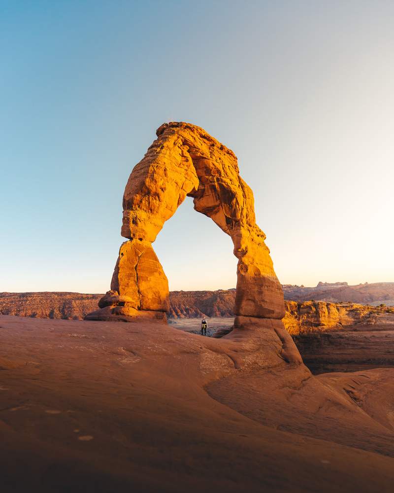
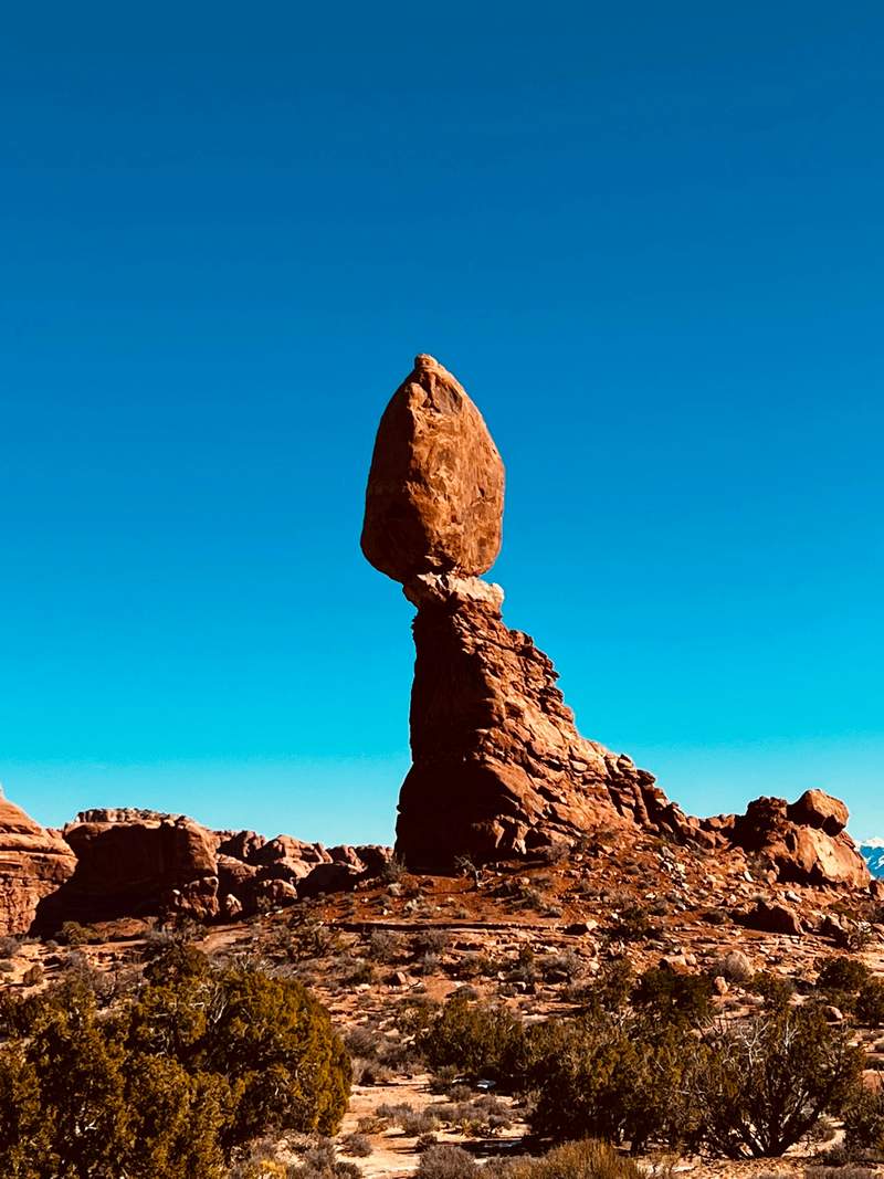
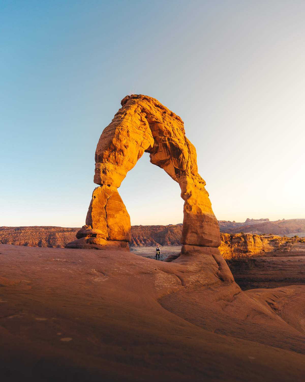
 1⭐ Delicate Arch
- 2Moab Brewery
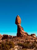 3Balanced Rock
Mesa Arch → Dead Horse Point
71 km · 53m driving · overnight in Moab
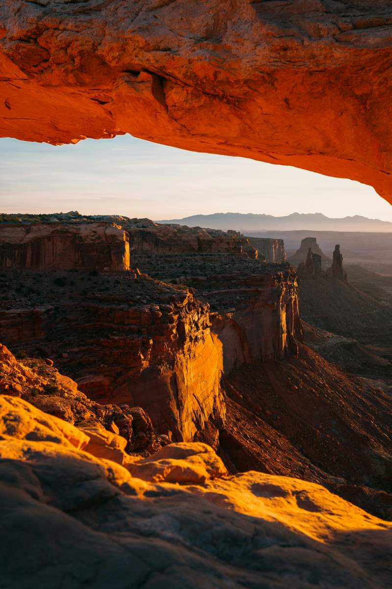
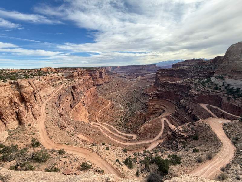
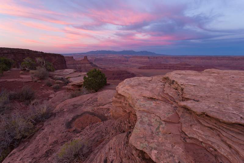
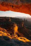 1⭐ Mesa Arch
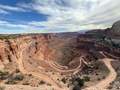 2Shafer Canyon Overlook
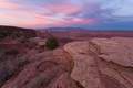 3Dead Horse Point
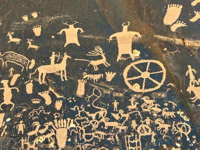
Love Muffin Cafe → Cave Spring Trail
136 km · 1h 25m driving · end of trip
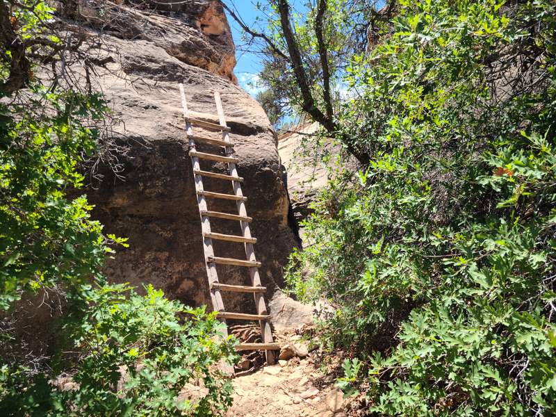
- 1Love Muffin Cafe
 2⭐ Newspaper Rock
 3Cave Spring Trail
Not booking yet? Get the free map
Included
- Tap-to-navigate for all 21 stops
- Offline PDF for no-signal stretches
- Unlimited AI edits for 30 days: days, stops, pace
- Cost estimate: fuel, car and stays
Not included
- Rental car
- Accommodation
- Fuel
- Entry tickets and paid activities
Heads up
- Zion Canyon Scenic Drive is shuttle-only for much of the year, and Arches may require a timed-entry reservation, so check the NPS sites before you go.
- Fuel and services are sparse on Scenic Byway 12, around Goblin Valley, and in the Needles district, so top up in Boulder, Hanksville, and Monticello.
- Trails and roads can close after flash floods or rockfall. Verify trail status at each park, and drive carefully after dark returning from Balanced Rock and Dead Horse Point.
- Carry plenty of water and sun protection. Bring layers too, because temperatures swing sharply between midday and evening at Bryce's high elevation.
Need Lance to build it by hand?
Different dates, another start city, a mix of regions. Delivered within 48 hours.
Questions
$9.99
This trip · unlimited edits for 30 days · One-time payment. No subscription.