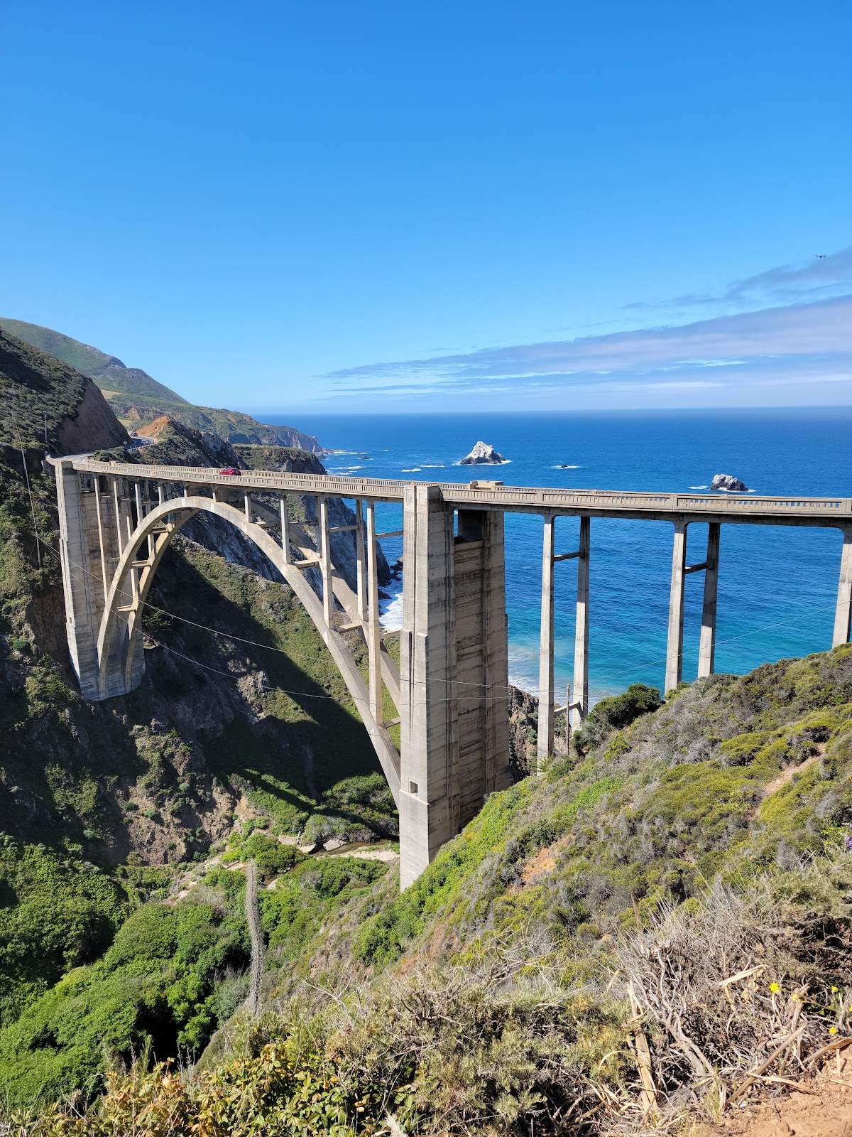
California
Self-drive route · free to read, day by day
- days
- 7
- km
- 990
- stops
- 19
- drive / day
- 1h 34m
Experience the ultimate California journey from the rugged cliffs of Big Sur to the ancient giants of Muir Woods, concluding with the granite peaks and waterfalls of Yosemite National Park on this iconic loop.
Curated by Lance · drove it, filmed it
updated Oct 2026
Highlights
one per dayThe route
Tap a day or a townYou sleep in San Francisco · Carmel-by-the-Sea · Big Sur · Yosemite National Park — start in San Francisco, end in San Francisco.
What the in-car version adds
Tap-to-navigate, every stop
Opens Google Maps or Apple Maps, in order.
Works with no signal
Download the PDF once: every day, stop and drive time.
Your own trip to change
Shorten it, swap stops or ask AI to adjust it.
Cost estimate
Fuel, rental car and stays for this route.
What to book, and when
Tours, ferries and stays that sell out.
Day by day
all free to readGolden Gate Bridge → Palace of Fine Arts
34 km · 22m driving · overnight in San Francisco
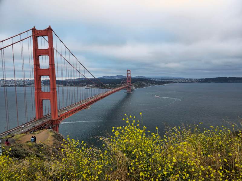
 1Golden Gate Bridge
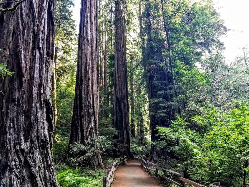
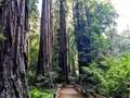 2⭐ Muir Woods National Monument
- 3Palace of Fine Arts
Monterey → Carmel Mission Basilica Museum
184 km · 2h 6m driving · overnight in Carmel-by-the-Sea
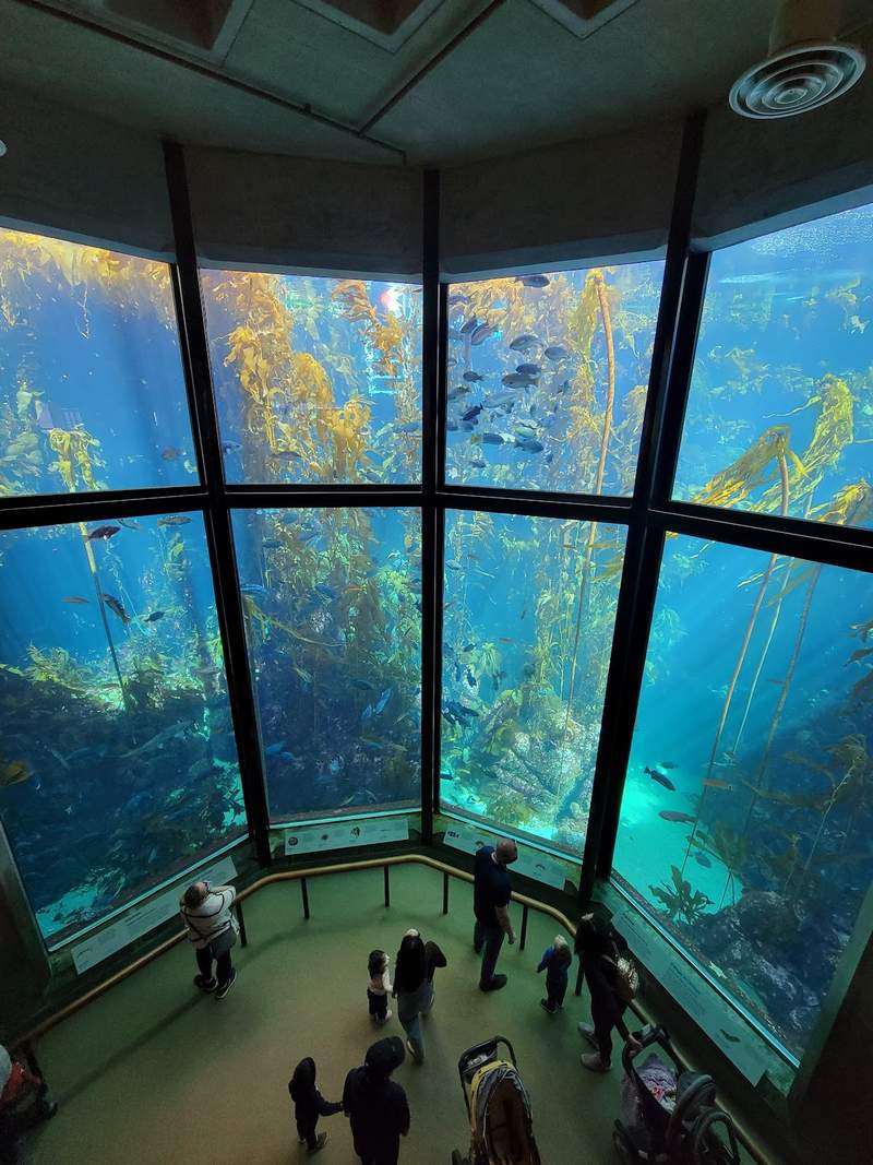
 1Monterey Bay Aquarium
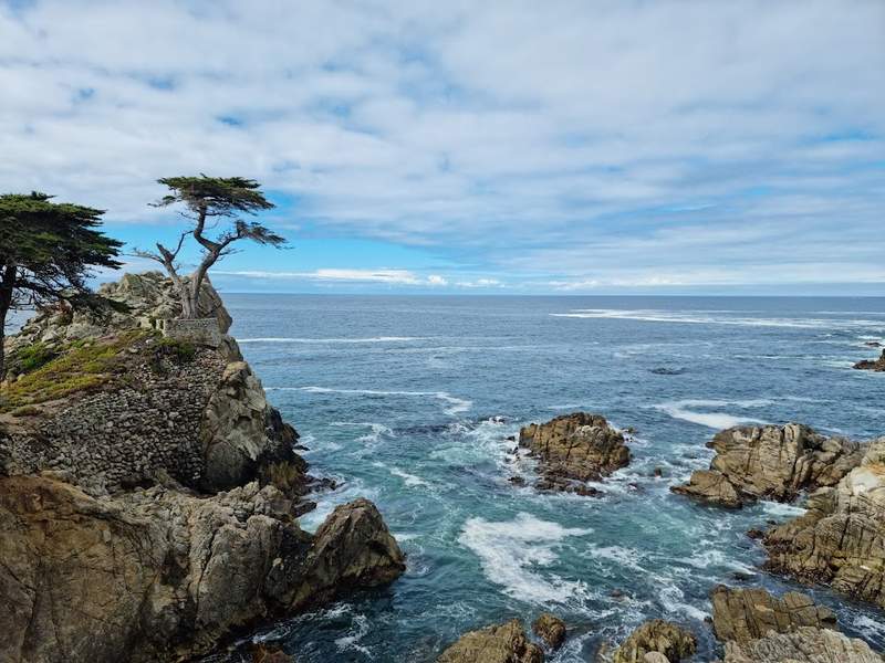
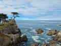 2⭐ The Lone Cypress
- 3Carmel Mission Basilica Museum
Bixby Creek Bridge → Pfeiffer Beach
80 km · 50m driving · overnight in Big Sur
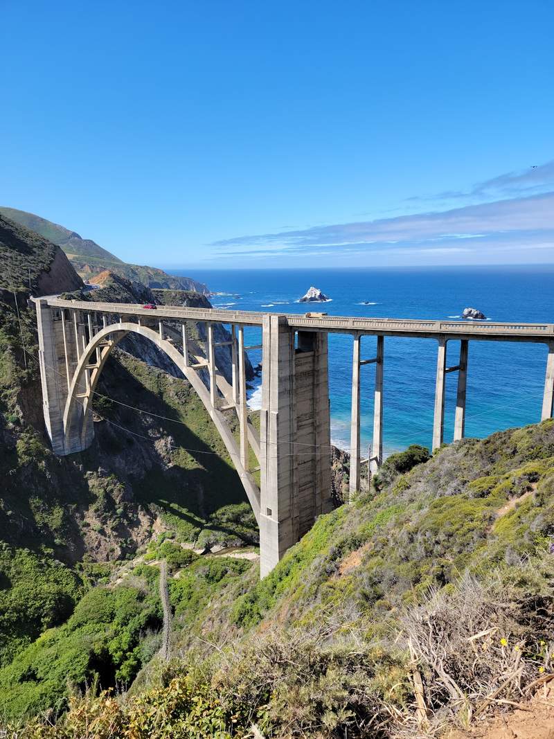
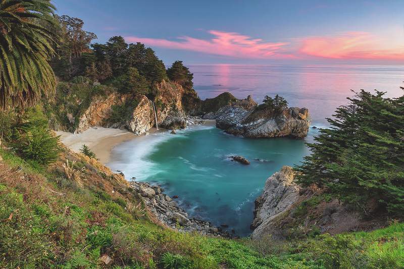
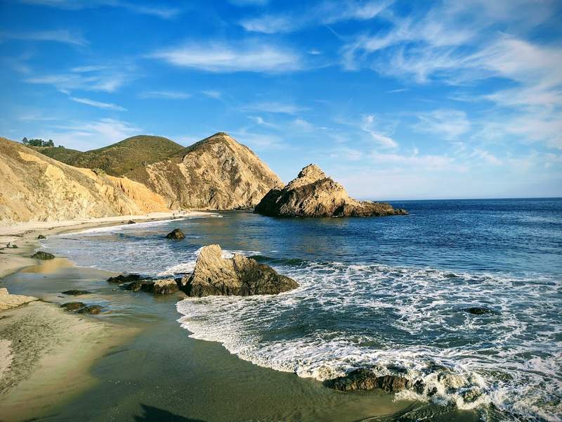
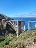 1⭐ Bixby Creek Bridge
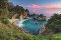 2McWay Falls
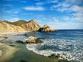 3Pfeiffer Beach
San Luis Reservoir → Mariposa Grove
303 km · 3h 11m driving · overnight in Yosemite National Park
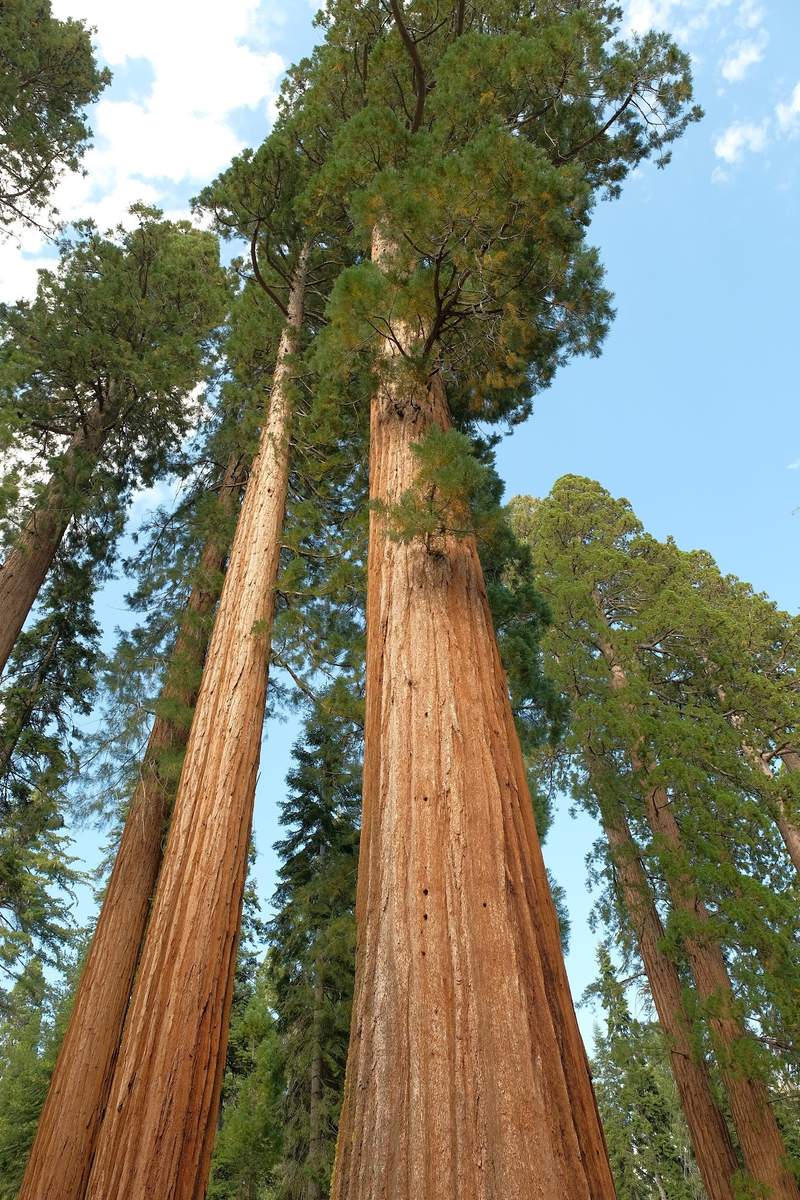
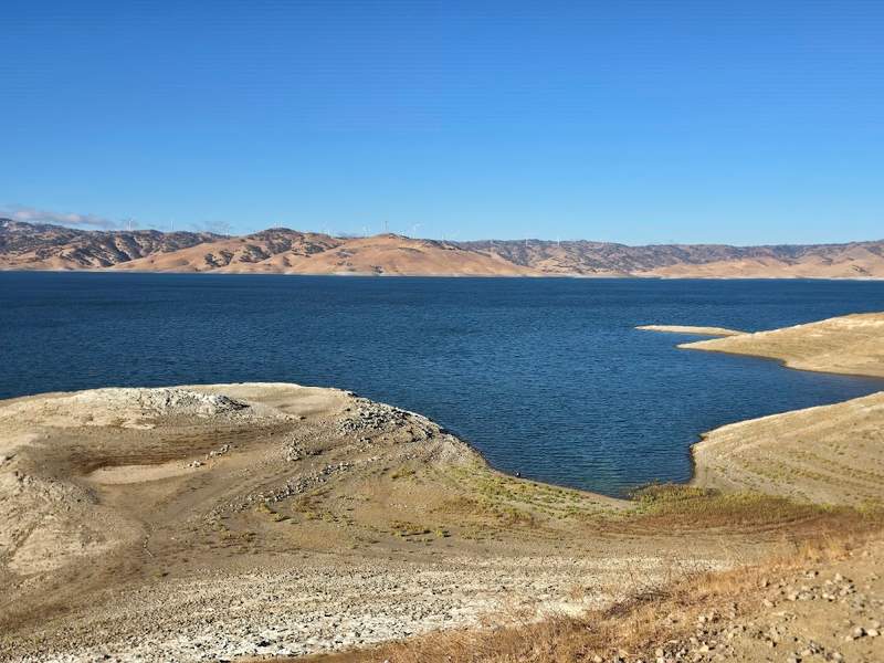
 1San Luis Reservoir
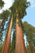 2⭐ Mariposa Grove
Tunnel View → El Capitan Meadow
43 km · 38m driving · overnight in Yosemite National Park
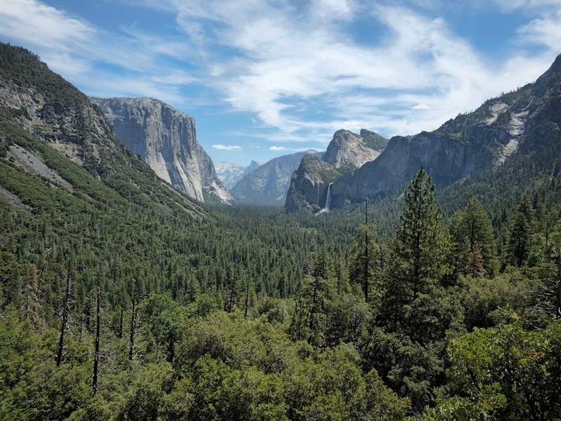
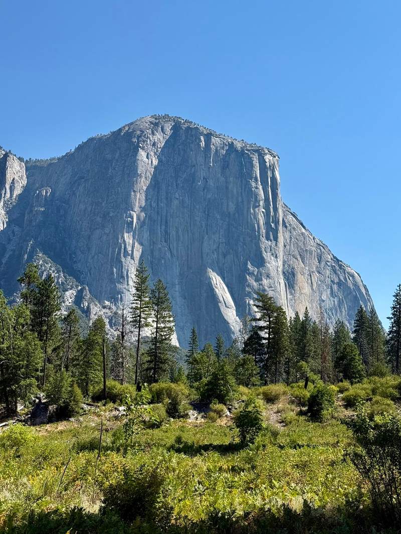
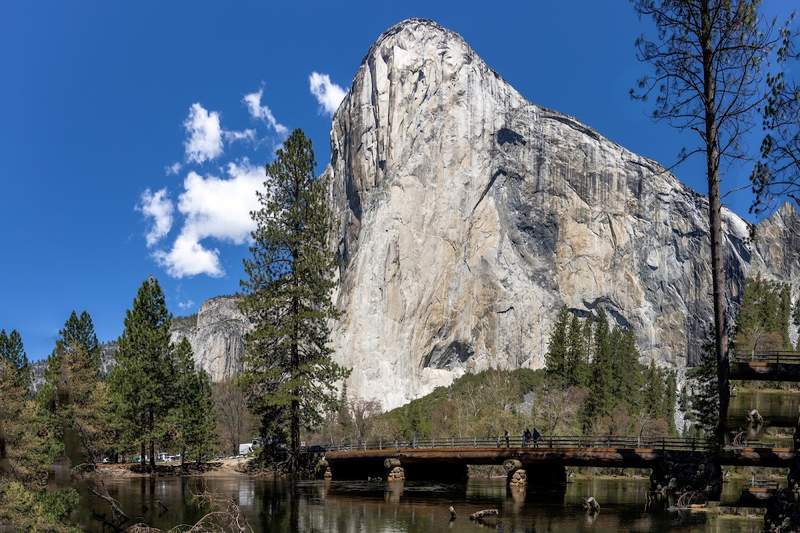
 1⭐ Tunnel View
 2Lower Yosemite Fall
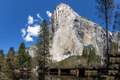 3El Capitan Meadow
Glacier Point → Tenaya Lake
25 km · 30m driving · overnight in Yosemite National Park
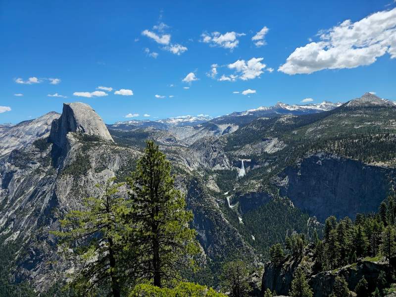
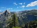 1⭐ Glacier Point
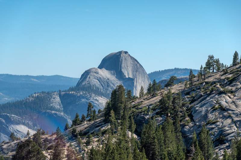
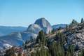 2Olmsted Point
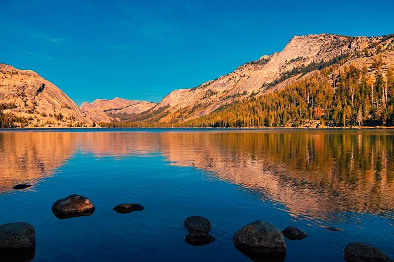
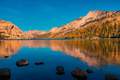 3Tenaya Lake
Ironstone Vineyards → Ferry Building
321 km · 3h 23m driving · end of trip
- 1Ironstone Vineyards
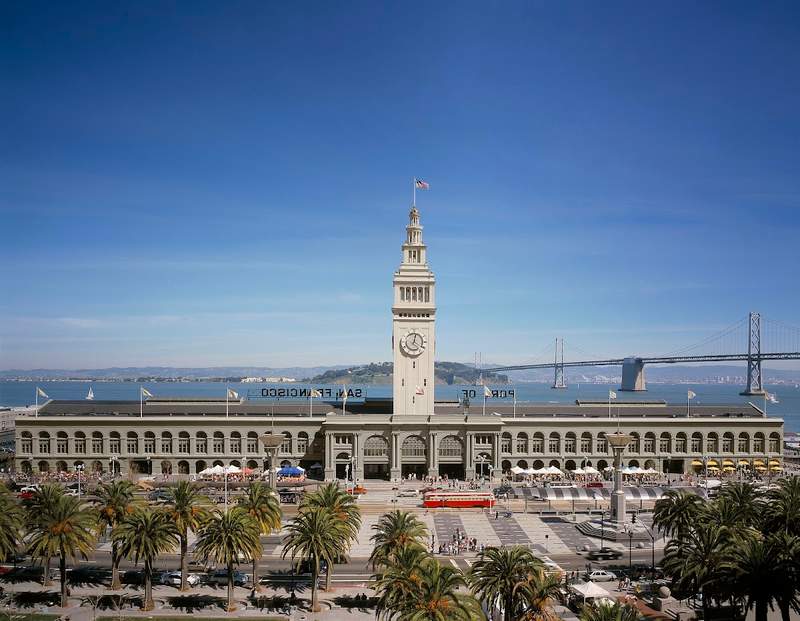
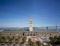 2⭐ Ferry Building
Not booking yet? Get the free map
Included
- Tap-to-navigate for all 19 stops
- Offline PDF for no-signal stretches
- Unlimited AI edits for 30 days: days, stops, pace
- Cost estimate: fuel, car and stays
Not included
- Rental car
- Accommodation
- Fuel
- Entry tickets and paid activities
Heads up
- Yosemite National Park requires peak-hour reservations during busy seasons; book well in advance.
- Check Highway 1 road conditions frequently as landslides can cause long-term closures in Big Sur.
- Muir Woods requires parking or shuttle reservations before arrival.
- Tioga Road and Glacier Point Road typically close from November to May due to snow.
Need Lance to build it by hand?
Different dates, another start city, a mix of regions. Delivered within 48 hours.
Questions
$9.99
This trip · unlimited edits for 30 days · One-time payment. No subscription.